Essendon
Airport - 1954
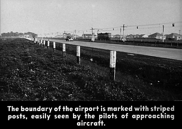
This
photo shows the Lancefield Road on the western boundary of the airport, where
the Tullamarine freeway now runs. Note the tramline, on the far side of the road,
which terminated at the airport.
Photo: Victorian Education Department/CAHS collection
Back
to the main Airports and Aerodromes
index
If
this page appears without a menu bar at top and left, click
here